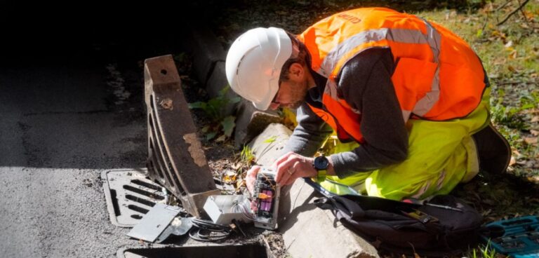
Kent County Council and infrastructure support provider Amey have assessed the results of the UK Department for Transport (DfT) funded ADEPT Live Labs programme as projects in the area approach completion.
The £22.9m Association of Directors of Environment, Economy, Planning and Transport (ADEPT) SMART Places Live Labs programme was established to help councils pilot new technological solutions in their areas.
This follows similar trials undertaken between Amey and Staffordshire County Council last month.
To begin with, Kent County Council and Amey discussed more than 50 potential innovations that would work for pilot schemes on the county’s roads, which were then divided into 10 workstreams.
Both organisations have been trialling a range of these solutions over the past two years, with projects ranging from drainage schemes to pothole detection devices.
Read more: Transport for West Midlands’ Network Resilience Live Lab programme
David Brazier, Kent County Council’s cabinet member for highways and transport, said: “Since the Live Labs programme launched two years ago, this funding has presented us with a great opportunity to trial new ways of alleviating road and transport issues.
“From using drones to find potholes to ensuring precision coverage for our winter gritters with cutting edge technology – the work we have done has provided a springboard for innovation across the department and will result in longer term savings for Kent council taxpayers.”
The use of pothole sensors, which are installed on the windscreens of highway inspection vehicles, is currently under assessment to see if it is appropriate for daily operations across the county.
These devices monitor potholes and defects in the road when inspectors are absent or conducting other business around the county. The information they collect is then fed to a ‘route reporting’ dashboard.
Another joint project aimed to improve road design through daily traffic monitoring, and involved the deployment of 32 cameras at eight different locations around Kent.
The cameras captured data that is intended for use in future road design, including information on the range of vehicles using the network, their movement and any almost-collisions.


