The accuracy of Transport for London’s (TfL) journey-planning application is set to be improved following analysis of more than 2.7 billion pieces of data from smartphones collected at over 260 London underground stations.
Using a device’s MAC code, the operator is able to map routes passengers take when walking through a station or switching trains.
According to the data, travel advice for journeys involving 55 stations could be improved. Enhancements include adjusting the time required to switch between lines at major interchange stations such as Baker Street, Notting Hill Gate, Canada Water and Earl’s Court.
Lauren Sager Weinstein, chief data officer at TfL, said: “It’s exciting what we can do now. Before this we had to have people walking around with clipboards and timers [to collect the information].”
TfL added that any data collected is depersonalised and anonymous.
“We’ve gone to great lengths to protect the data we use and peoples privacy and spend a long time going through privacy reviews and impact assessments,” said Weinstein. “We’re looking at groups of people, not the individuals.”
Signs explaining that Wi-Fi data is being collected is displayed at participating stations.
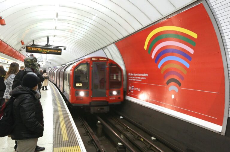
More than 97% of the London Underground network has access to a free Wi-Fi through TfL’s partnership with Virgin Media, though connectivity is limited to the stations only.


